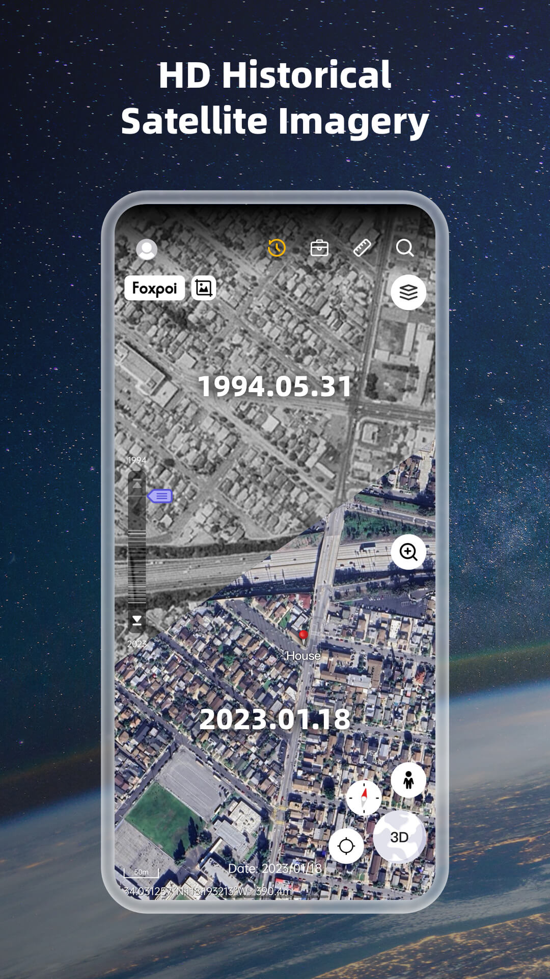
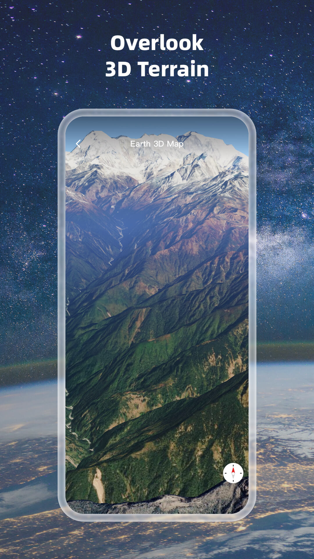
Earth 3D Map APP
Geographic information 3D earth HD map
- High-definition 3D globe
- Load map tile data
- Oriental compass function
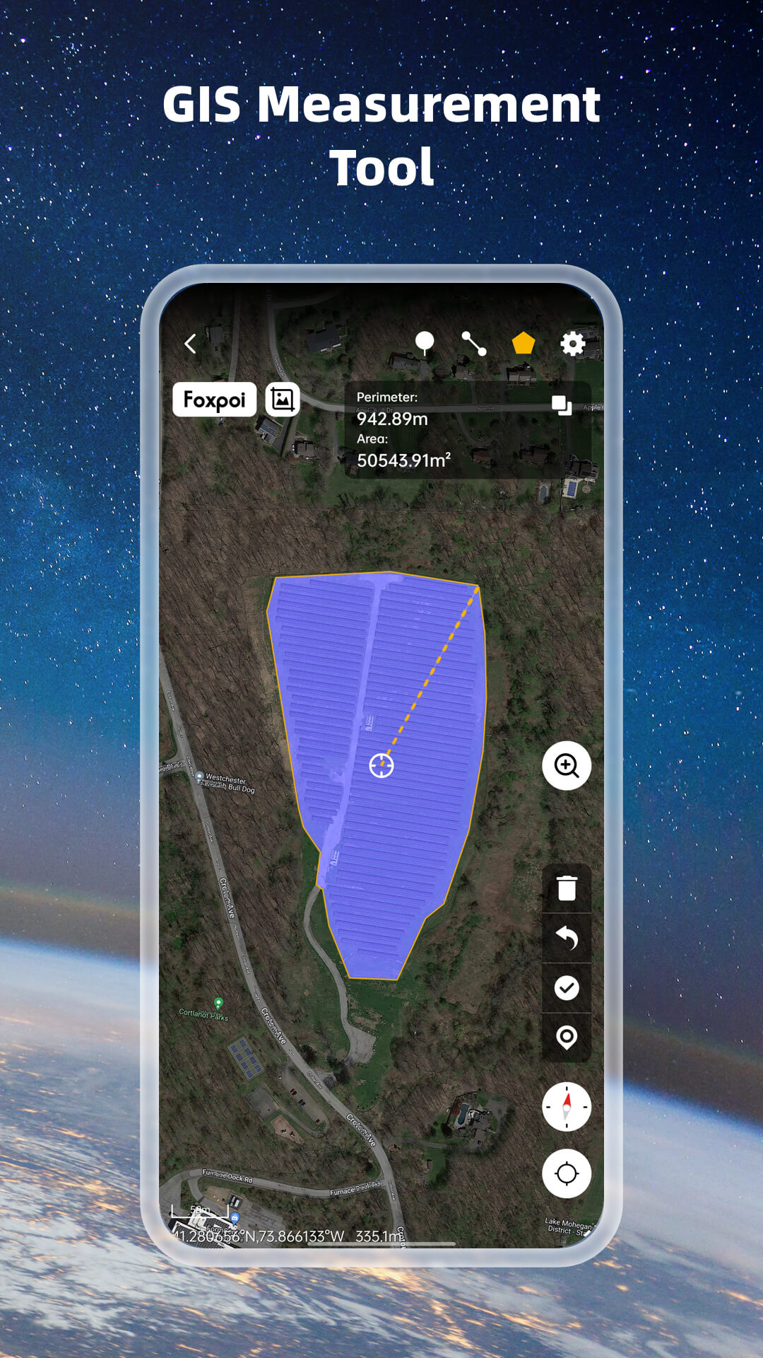
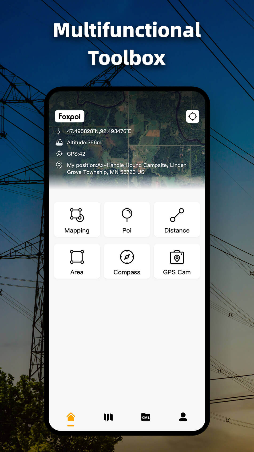
Work Map
With the Work Map, everything becomes possible.
- This is a software developed for professionals in various industries such as agriculture, telecommunications, construction, power, forestry, water resources, real estate, delivery personnel, as well as outdoor enthusiasts such as hikers, mountain bikers, climbers, trail runners, and treasure hunters.
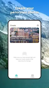
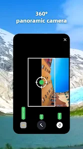
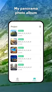
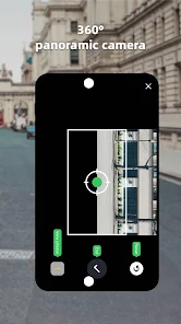
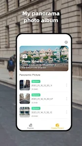
360 Photo Sphere Camera
Capturing and sharing 360 panoramas and creating virtual tours, viewing properties
virtually.
- Take snapshots in 360 degree angle
- Capture landscape and real estate panorama images easily
- Create panoramic images in seconds
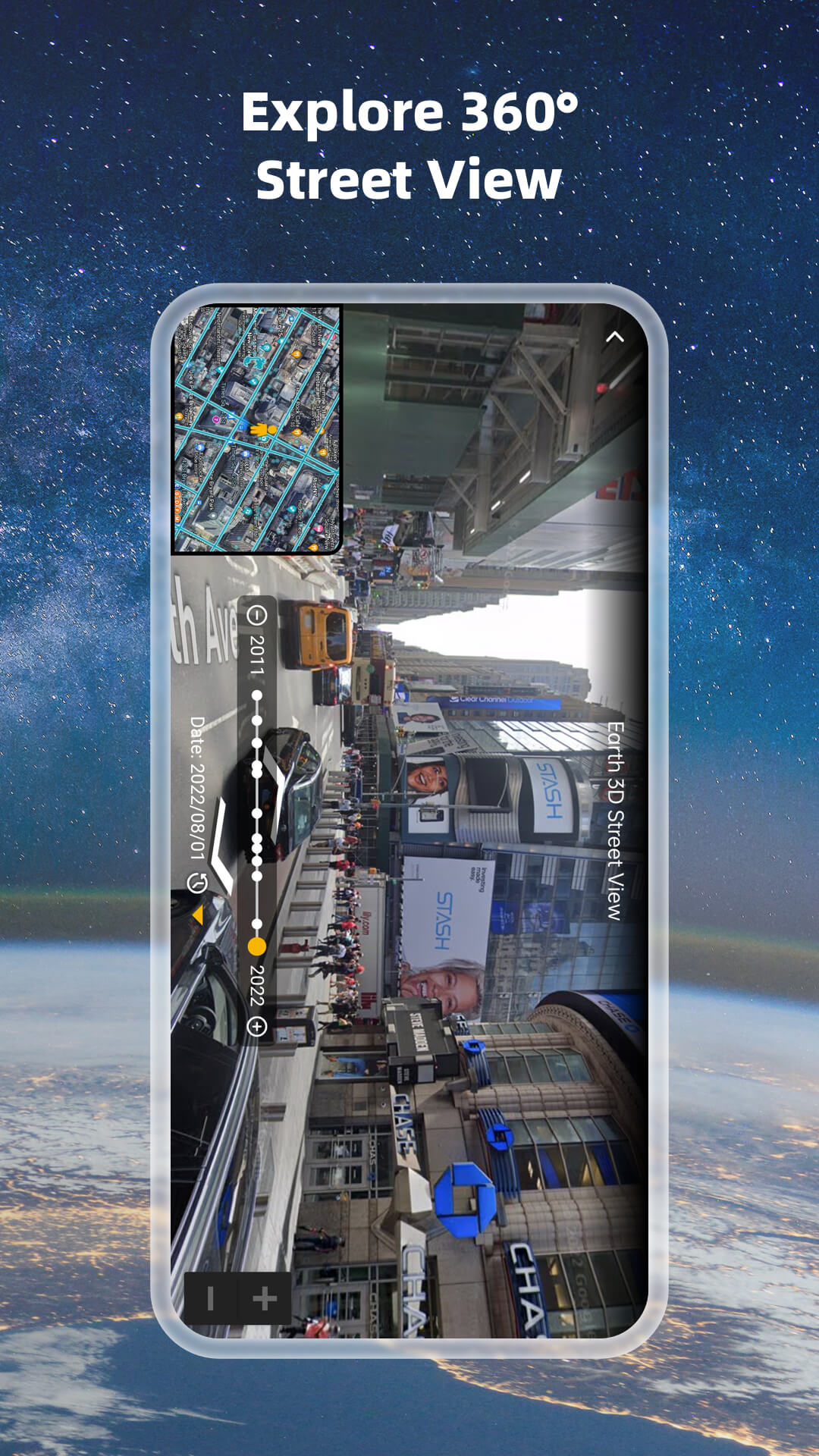
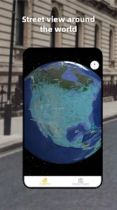
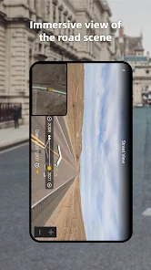
Go Street View Photo Sphere
Viewing, capturing 360 quality panoramas, creating virtual tours and viewing 360 street view
panorama.
- Satellite maps and street view navigation feature
- Check out 360 panorama street view
- High definition street view maps
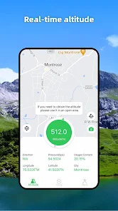
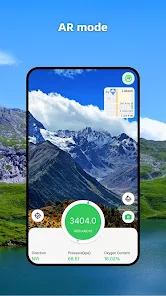
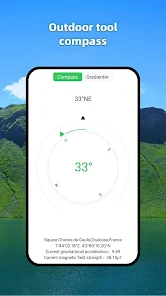
Altimeter GPS Offline Altitude
Including information such as geographical location, GPS, altitude, oxygen content,
atmospheric pressure, and direction.
- Altitude: Display the current altitude information accurately and in real time.
- Query altitude: View other locations to measure altitude.
- Compass and level: Accurate and real-time display of current direction.
- Locator: Displays the current longitude, latitude, and address information, and displays
it on the map.
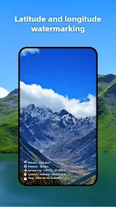
- Social sharing: You can take photos with height, longitude, latitude, and other
information to share.